July 29, 2019
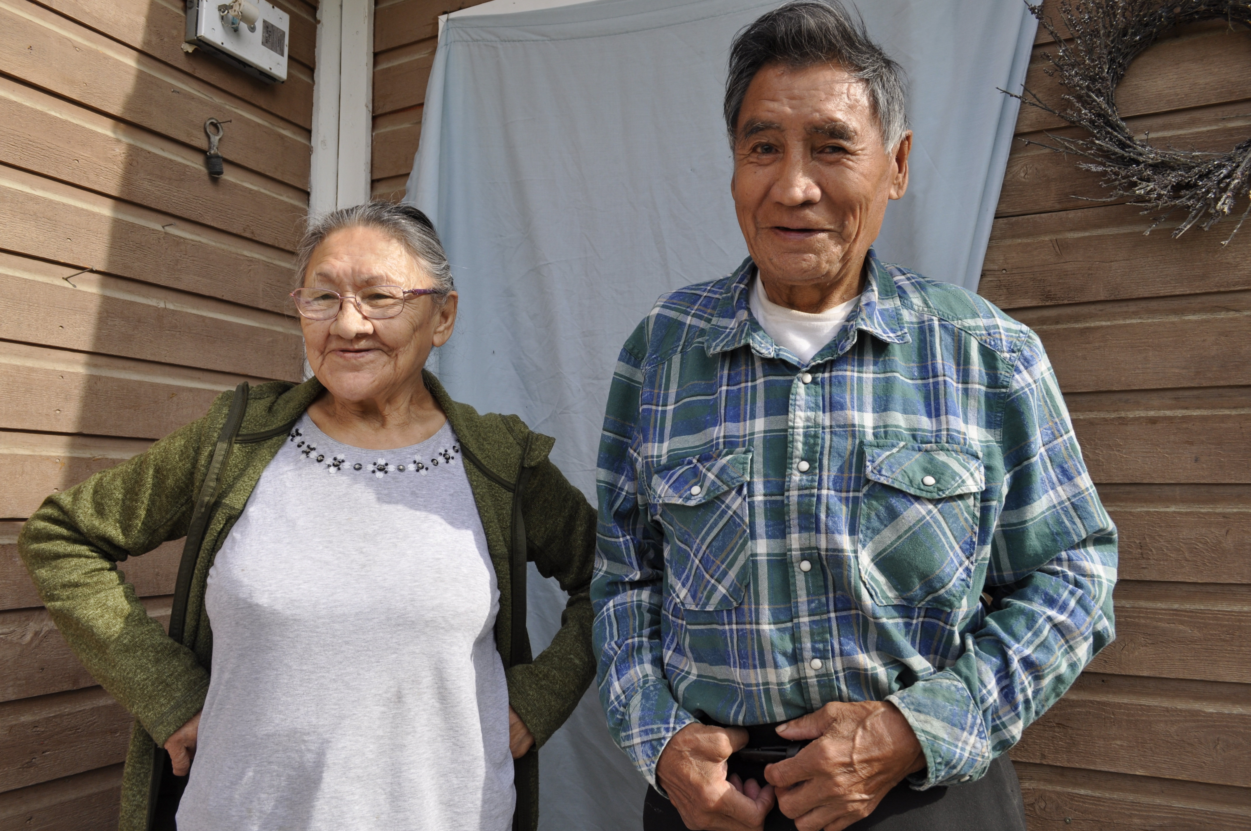
Margaret and Edward Kelly's home is coming apart at the seams.
The joints holding their walls, floors and ceilings together expand and contract as the ground underneath moves, a few centimetres at a time.
They built their family home in Fort Good Hope, on the banks of the Mackenzie River in the Northwest Territories, 30 years ago. Over the past decade, they've fought to keep the house together.
But every time they make a repair, another gap appears between the walls, or a section of the floor sinks.
"It's dangerous to live here," Margaret Kelly, 77, said. "The plywood underneath the floor moves. You can feel the house moving. It's unstable."
The Kellys are one of at least a dozen families in Fort Good Hope who feel threatened as the ground literally shifts beneath their feet. They blame the thawing permafrost, which is shifting the land and the houses that sit on top of it.
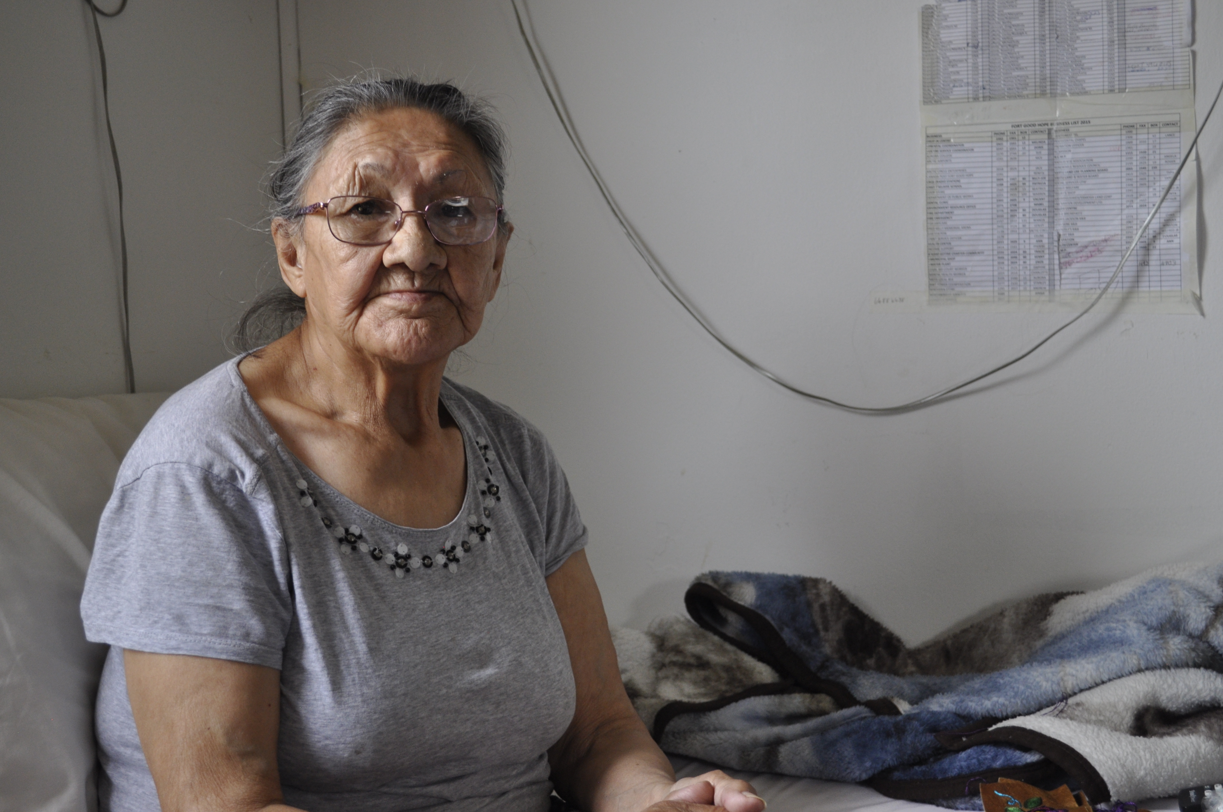
"In the winter, you can feel the draft from the wind coming from under the doors," Kelly said, noting there are gaps "an inch wide" between the door and the floor. "By springtime, you can feel that the house has shifted again."
About 500 people live in Fort Good Hope, which is just 100 kilometres south of the Arctic Circle. It sits high on ridges lining the Mackenzie River, which meanders past this community on its 1,700-kilometre route from Great Slave Lake to the Arctic Ocean.

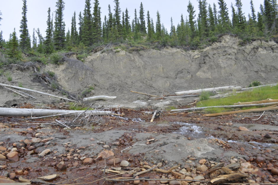
The permafrost has strengthened the land underneath the community for centuries. But as climate change warms the permafrost, it leaves the land vulnerable to heavy rain and landslides that carve away huge chunks of earth.
The risks posed by degrading permafrost are well known in the North, but there's relatively little hard data showing exactly what's happening and where.
But now, researchers with the territorial government are working on creating an N.W.T-wide permafrost map that may help people living in remote communities adapt to their changing climate.
'It's very disturbing'
Each year, landslides bring the river's edge closer to the front porches of the people living on the Mackenzie.
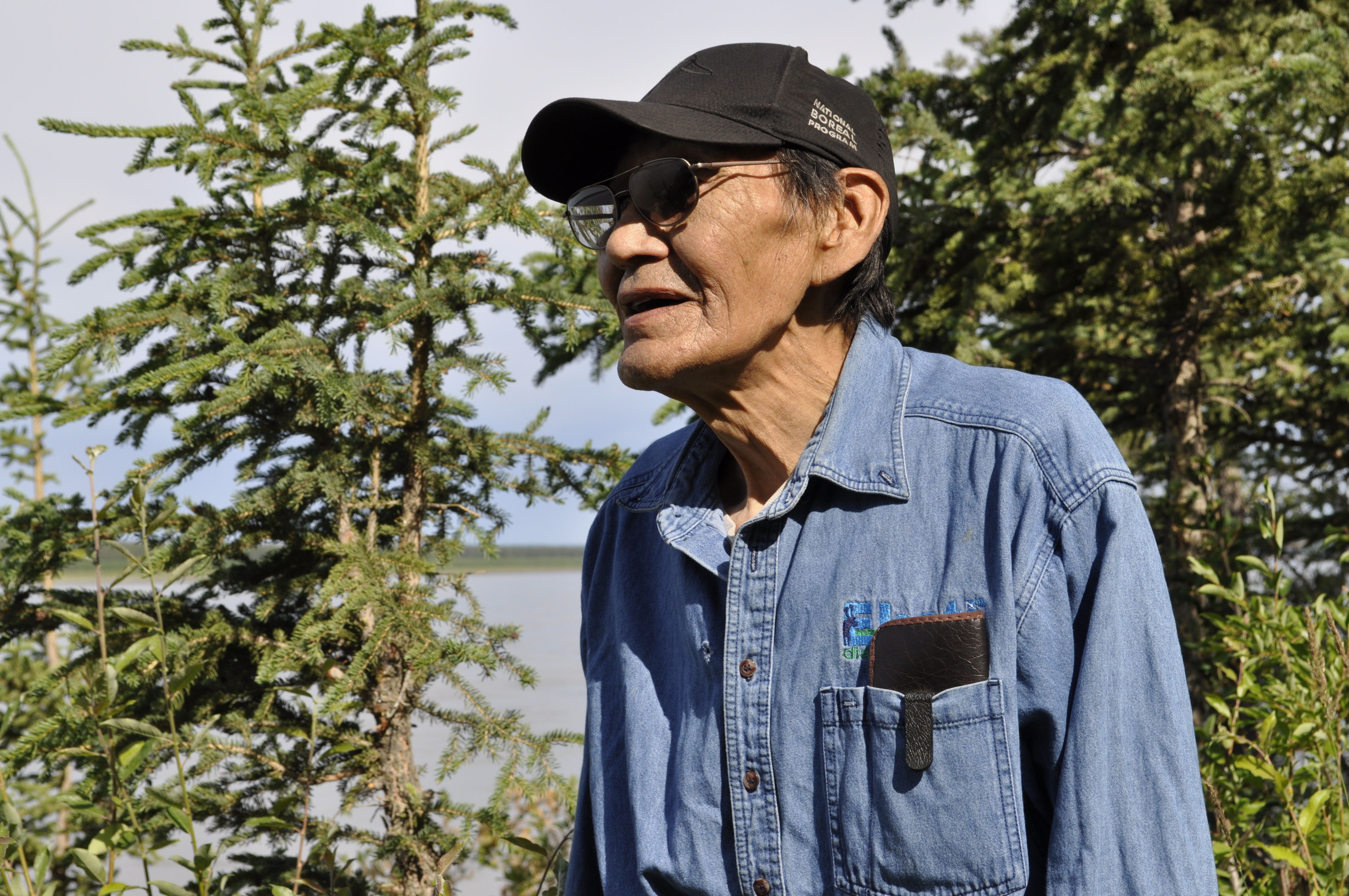
"Over the last 30 years, we've lost 10 feet [of the bank], if not more," explains Frank T'seleie, who lives next door to the Kellys. "It's happening really fast. It's very disturbing."
Like his neighbours, T'seleie, 73, built his log house about 30 years ago. It looks like a luxury lodge, but he, too, sees shifting year after year. The north corner of the home is the most precarious, and T'seleie has been shoring it up with spruce boards.
"It's happening really fast. It's very disturbing."
T'seleie knew about the possibility of erosion when he built the house, but he thought it sat far enough away from the edge of the cliff that it wouldn't be a problem.
When he walks out near the edge of the ridge now, T'seleie is careful about where he puts his feet. The soil is loose here, and it's a steep drop of about 10 metres down to the riverbank.
T'seleie and his wife, Bella, grow wildflowers, grasses and shrubs, hoping the roots will bind the soil.
"We're throwing over any organic material that would encourage growth from the bottom, from the lower eroded areas," he said. "It seems to be taking hold now.… We know that once it does, that will keep the ground together."
But beyond his backyard, T'seleie questions what else is at stake: How will the landslides affect access to the land? How will it affect their diet? Will the ice still be safe in the winter and early spring?
"The changes that are happening around here are quite alarming," he said. "I'm not sure what it means for the future. In some way, we have to find a way to adapt."
Moving to a different home in town isn't an option for either the T'seleies or the Kellys; there isn't anywhere else to live. Fort Good Hope is in the midst of a housing crisis, and there aren't enough homes as it is.
A multimillion dollar problem

Across Canada's North, thawing permafrost, wetter summers and warmer winters are drastically affecting vital infrastructure, like roads, airports, buildings and cemeteries.
In 2008, a series of landslides and washouts caused $5 million in damages in Pangnirtung, Nunavut. In 2015, officials in Ross River, Yukon, had to close the school after the thawing ground underneath made the building unsafe.
In Tuktoyaktuk, N.W.T., several homes have been relocated and parts of the community are at risk of falling into the Arctic Ocean.
Estimates suggest costs related to permafrost degradation could cost the Northwest Territories hundreds of millions of dollars, according to a recent climate change report from the Council of Canadian Academies, funded by the federal government.
"When the permafrost degrades entirely, landscapes can collapse, ecosystems can change," said Steve Kokelj, a permafrost scientist for the N.W.T. government.

"We need to understand where the permafrost contains the most ice," explained Kokelj. "That's important to see how our ecosystems are going to change, how water quality is going to change and where our communities or our infrastructure have the potential to be threatened."
Kokelj is spearheading a two-year project to create the first territory-wide map of changing permafrost conditions. This summer, researchers are testing their methods to see if the project can produce quality data. Though it is still in its early stages, Kokelj is optimistic it will succeed.
"The territorial environment is changing so quickly because of permafrost thaw."
The goal is to capture a snapshot of the territory's changing permafrost conditions, which can be shared with people living in communities like Fort Good Hope to help them adapt to further changes, Kokelj said.
"The territorial environment is changing so quickly because of permafrost thaw," he said. "It's really important to understand where those hotspots are, and where those drivers of change are.
"It's going to give us something to take to different communities … to start a discussion about what [community members'] observations are and where we can put more efforts on the ground."
For now, much of the knowledge lies with people like Wilfred Jackson, a self-described "bushman" who spent most of the past 80 summers hunting, trapping and setting nets all along the Mackenzie River.
Jackson knows where many of the landslides are and, on a recent trip, he pointed them out from the backseat of his riverboat. He manoeuvred around shoals and eddies until he reached a place where a recent landslide revealed an underground creek.
"The permafrost is thawing out quite a bit here," he said. "When the heavy rain comes down, all the roots start breaking away and the land slides down."
Jackson remembers a huge thunderstorm about four or five summers ago that caused dozens of landslides near one of his cabins.
"I just saw landslides, one after the other — all the way down the river it was like that," he said. "Every time there's a big storm, that's what happens. It's because the permafrost melts so much."
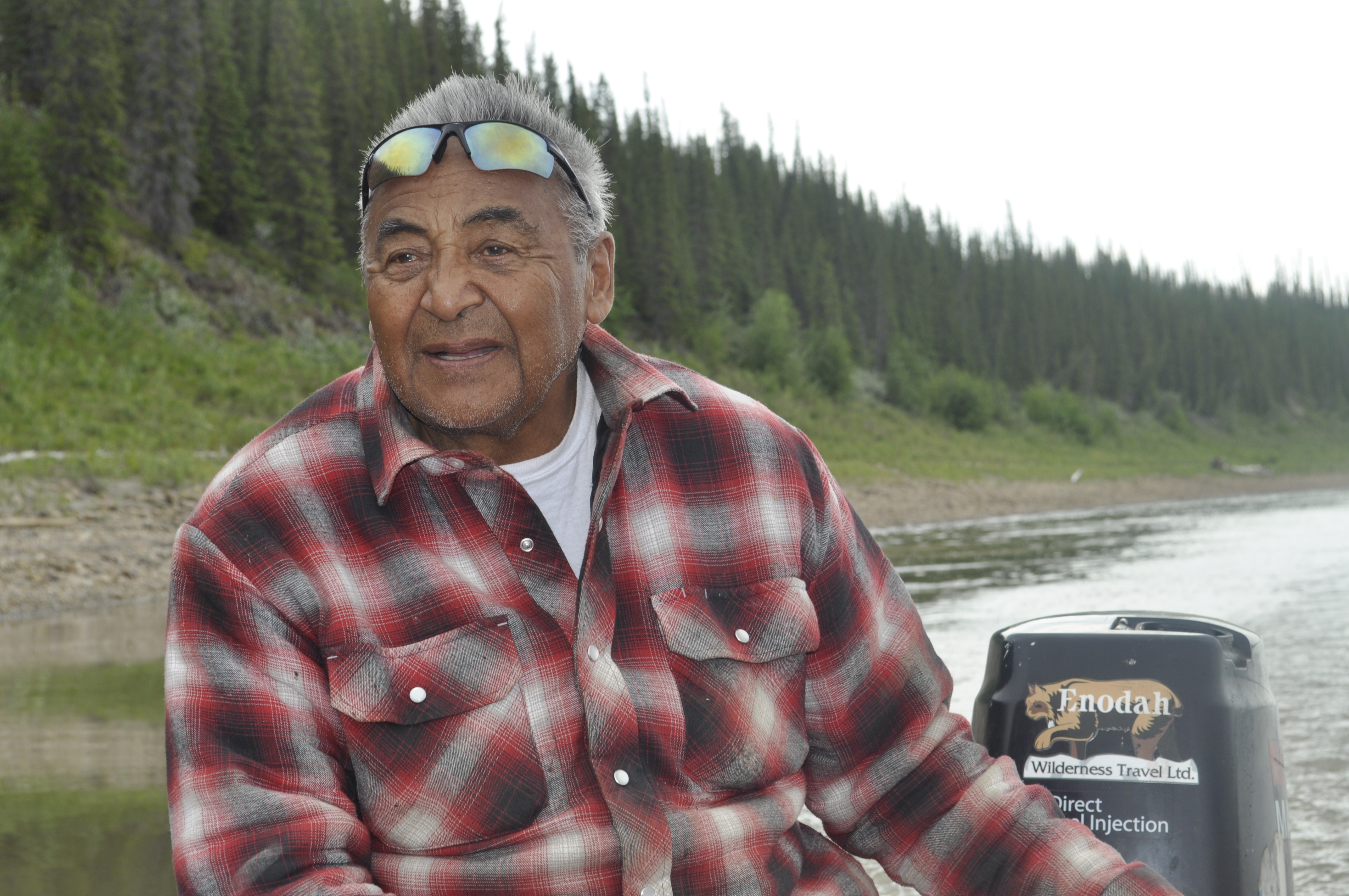
Kokelj hopes Jackson and others who know the land and river can help validate some of the results from the mapping project, filling in gaps and pointing out things the mappers may have missed.
This new research may be able to help people like the T'seleies and the Kellys learn more about what's happening underneath them.
But in the meantime, the people living along the Mackenzie have few options open to them. It's difficult to get insurance, they say they can't afford to move their homes and governments aren't offering to pay for it.
Margaret Kelly, at least, is ready to move on. She's tired of fighting what she sees as a losing battle, and hopes to get out of her home as soon as possible.
"We're getting old," she said. "I don't think we'll be here long. Our boys can take care of this. I don't care if it burns down. I've had enough."
This story is part of the CBC series Footprint examining climate change issues and solutions in communities across Canada. For more stories, visit: cbc.ca/Footprint.
